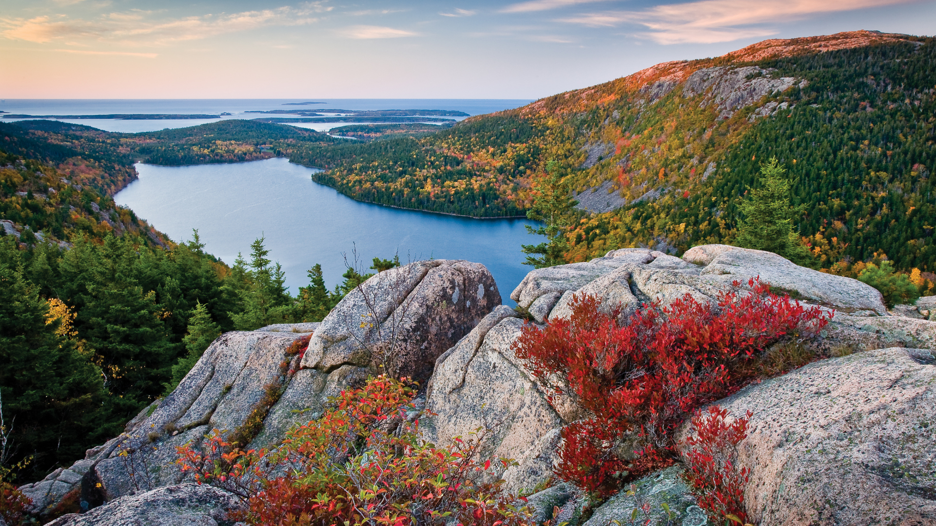
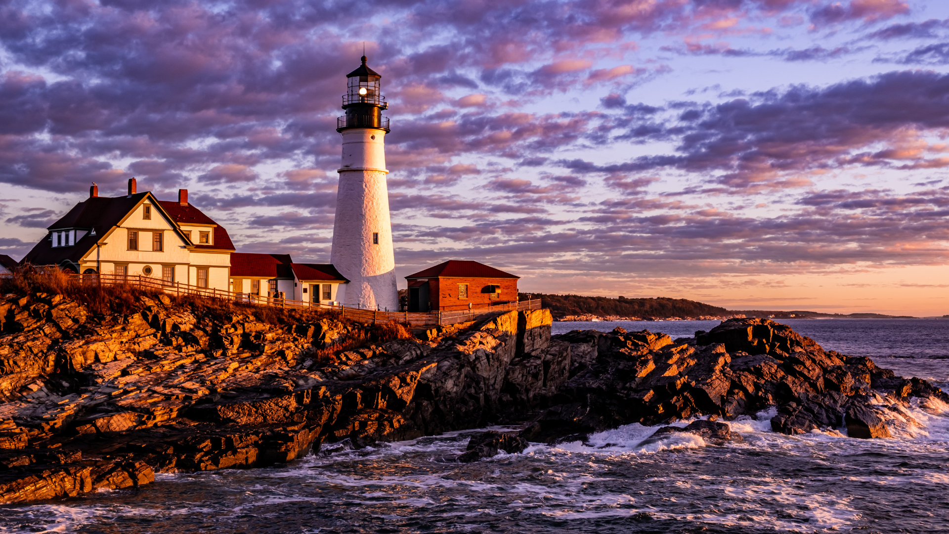
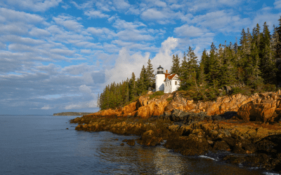
Maine’s coastline is short as the crow flies. But follow every cove, inlet, and peninsula, and it stretches more than 3,000 miles, lined with granite headlands, working harbors, and dozens of lighthouses. Towns like Camden, Boothbay Harbor, and Bar Harbor sit right on the water. Thousands of islands lie just offshore, some reachable by bridge, others only by ferry or private boat. The Acadia All-American Road and the Schoodic National Scenic Byway both trace the coastline, passing rocky shorelines, pine forests, and small fishing villages along the way.
Inland, Maine turns quiet and wild. Baxter State Park protects more than 200,000 acres of undeveloped wilderness around Mount Katahdin, the highest peak in the state and the northern terminus of the Appalachian Trail. Farther north, Moosehead Lake, the largest lake in Maine, anchors the North Maine Woods, a region of dense forest, remote ponds, and moose sightings.
Acadia National Park, spread across Mount Desert Island, Isle au Haut, and the Schoodic Peninsula, is Maine’s only national park. Cadillac Mountain rises 1,530 feet, the highest point on the North Atlantic seaboard, and from early October through early March, it’s the first place in the country to see the sunrise. More than 45 miles of historic carriage roads, built for horses and carriages rather than cars, wind through the park and remain closed to motor vehicles today.
Places & Experiences / View All
Maine’s Great Outdoors Itinerary: From Rugged Coast to Wild Waterways
Follow Maine’s wild edge from coastal paddles and mountain hikes to northern waterways and smal...
Outdoor Lover’s Guide to Maine: Nature, Small Towns, and Coastal Food
Maine is a destination where days are shaped by salt air, forest trails, and open water and eveni...

Maine Itinerary for Any Season
While you’re on the coast, you’ll find all kinds of gems tucked in the craggy coastline, read...

Maine: Embrace the Expected, Uncover the Unexpected
Whether you’re motoring your way along the Oyster Trail or experiencing slow travel in artistic...

Exploring Indigenous Heritage on the East Coast
When traveling to National Parks and other incredible places on the American East Coast, you are ...

Best Towns on the Appalachian Trail
The best towns and communities along the Appalachian Trail are full of Appalachian history and cu...

New England Fall Foliage Road Trip
September and October are special months on the East Coast and in particular, New England. The le...

National Parks in the United States
Need some help planning your national park road trip? We’ve compiled a complete list of U.S...


Itineraries / View All